Geoanalytics Platform (GeoAP)
Ready-made platform to build your AI-powered geoanalytical solutions
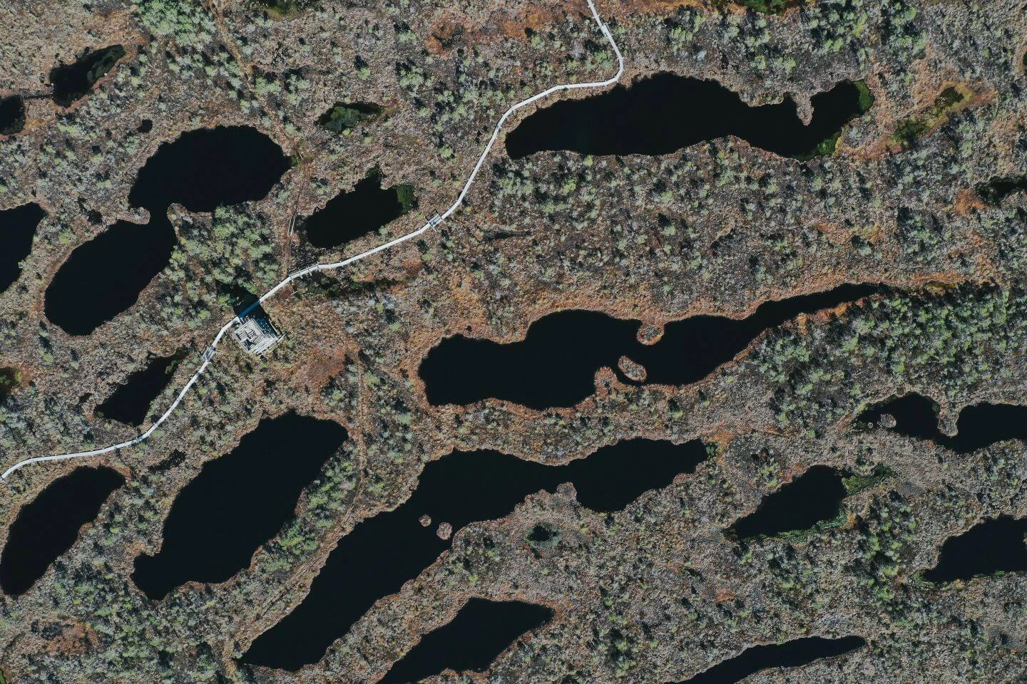
Learn moreA Platform for Instant Geoanalytics Solutions Development


Geo Analytics Platform
GeoAP is a comprehensive solution with ready-made modules that allow to quickly create, deploy, and operate your own SaaS products for AI-powered geospatial analytics.
The platform is designed to:
- Accelerate the prototyping of geospatial solutions powered by AI
- Enable organizations to monetize geospatial data analytics services
- Enhance logistical workflows by simplifying collaboration between stakeholders
Architecture
GeoAP architecture comprises several modules designed to easily guide you through all the steps of acquiring fast and scalable geoanalytics. The platform is built on a solid architecture using Kubernetes, enabling downloading imagery from various sources, scalable image processing, and geospatial MLOps with the capability of model orchestration for complex sequential analysis.

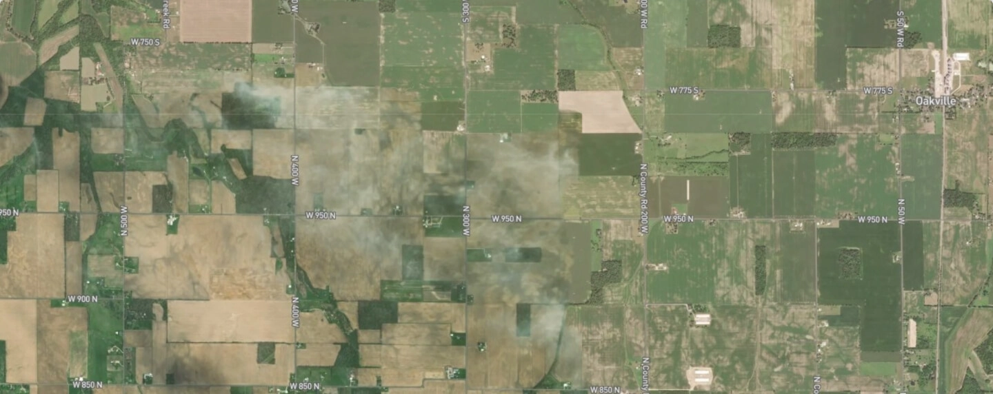
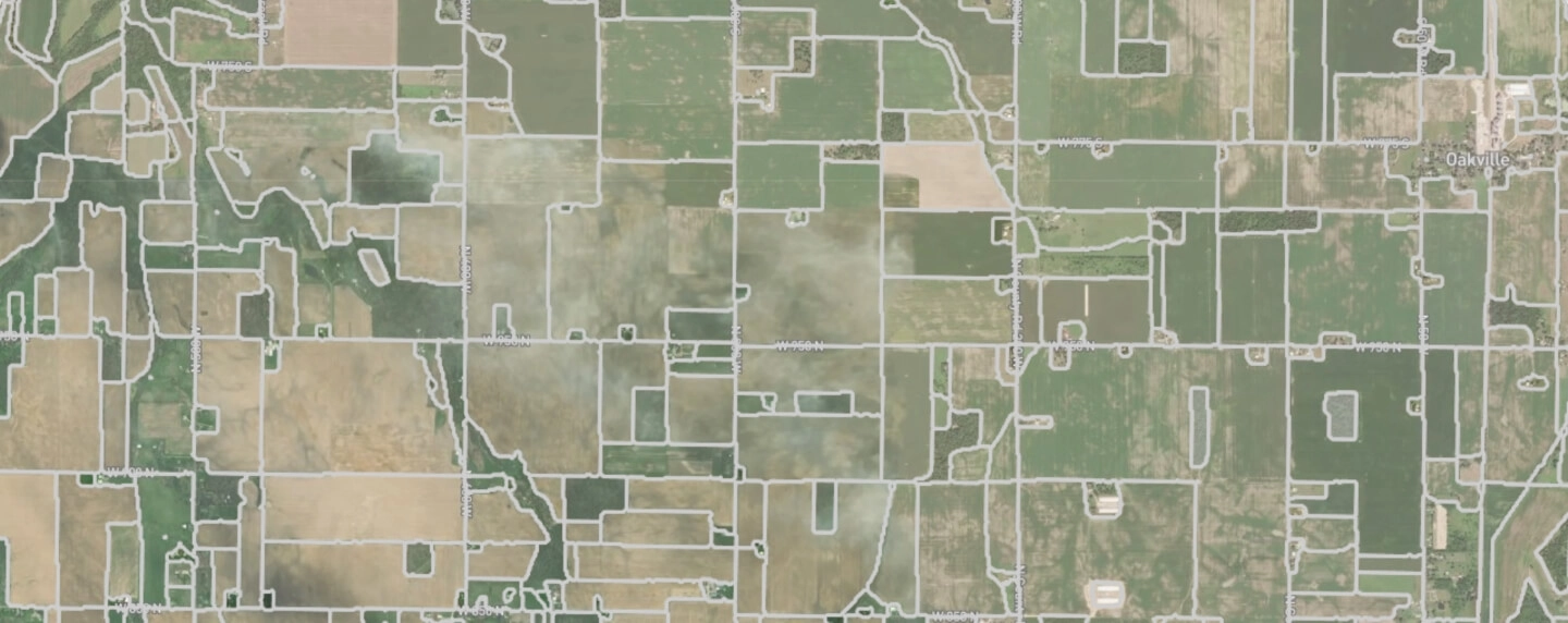
Drone Imagery
LiDAR, thermal, RGB, multi- and, hyperspectral imagery


Imagery Downloader
Orders your imagery and connects with data repository

Model Executor
MLOps: runs geospatial data models

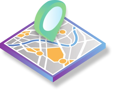
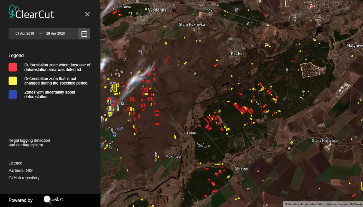
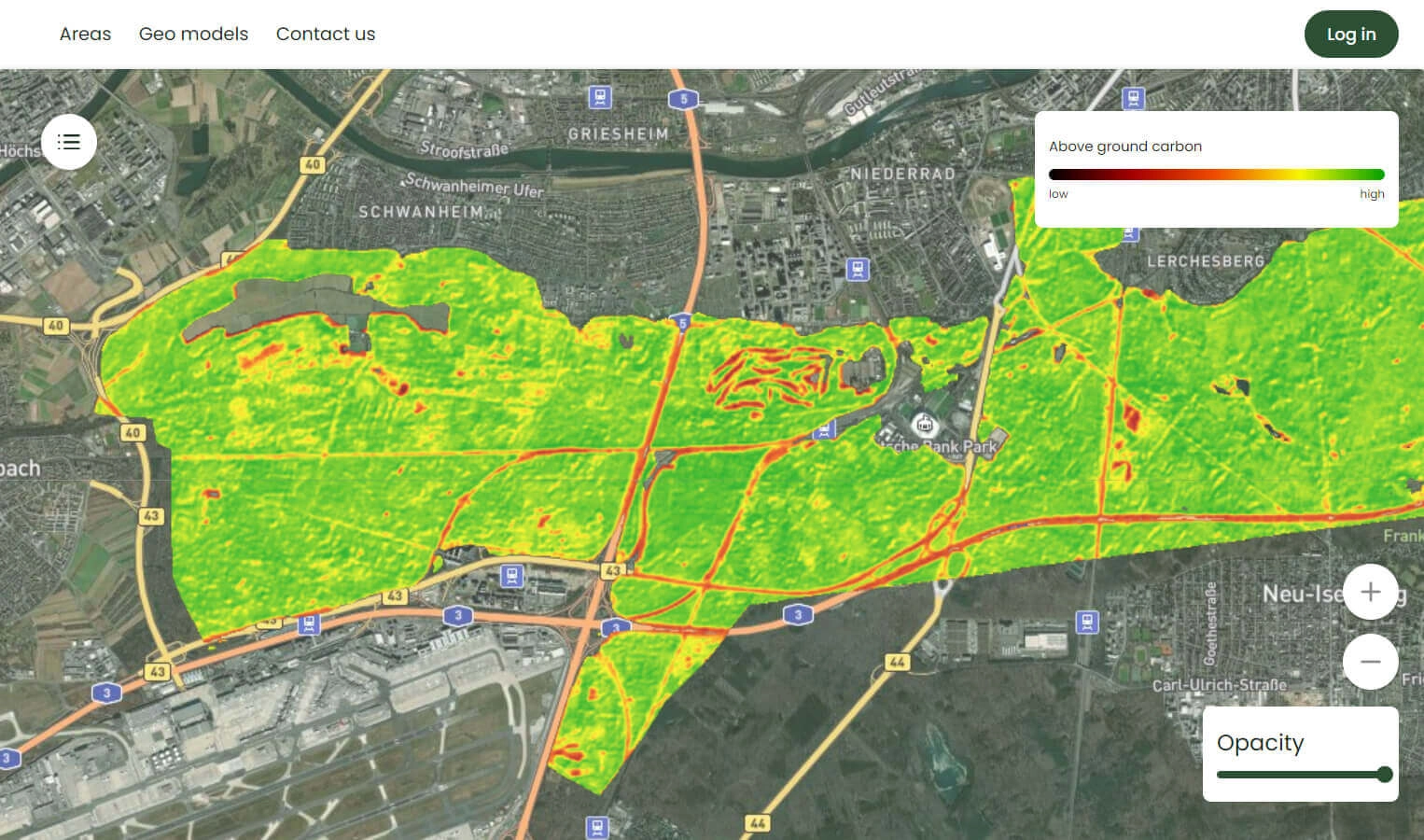
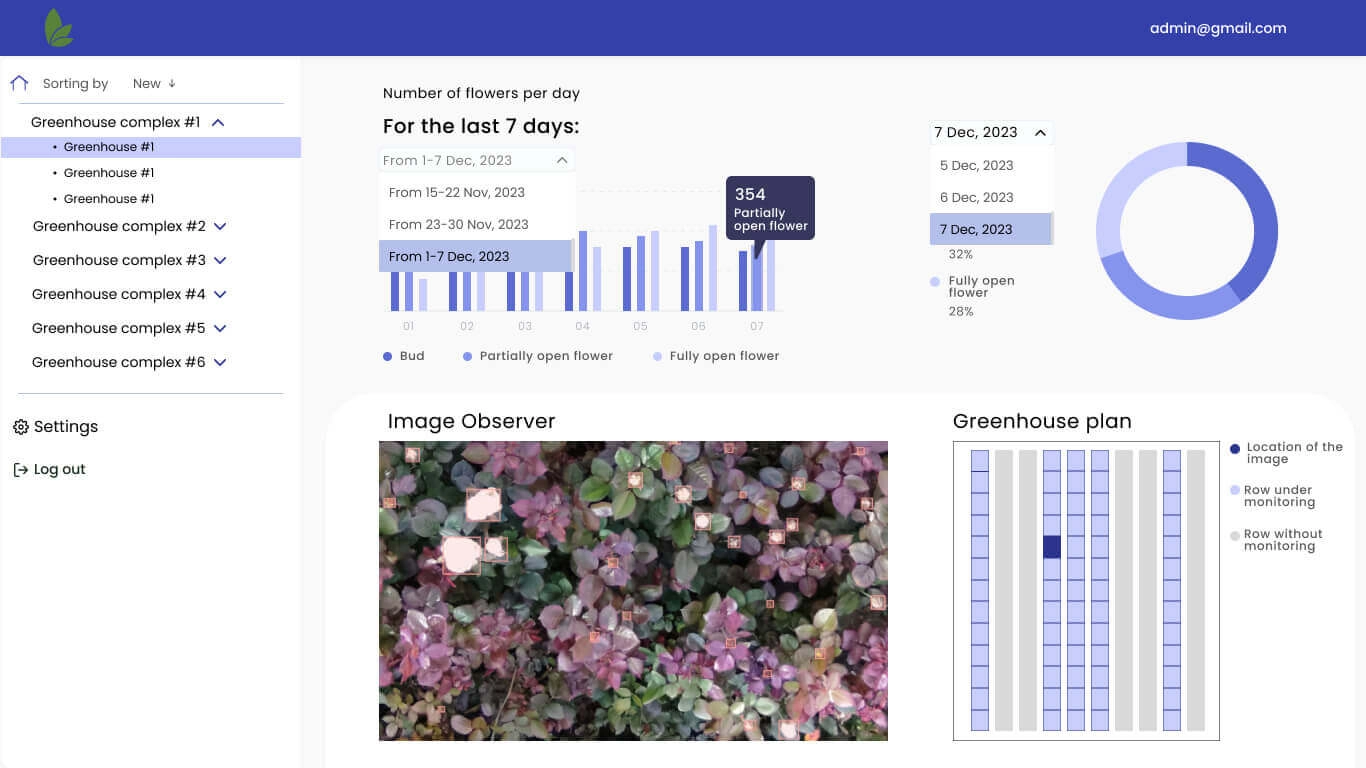
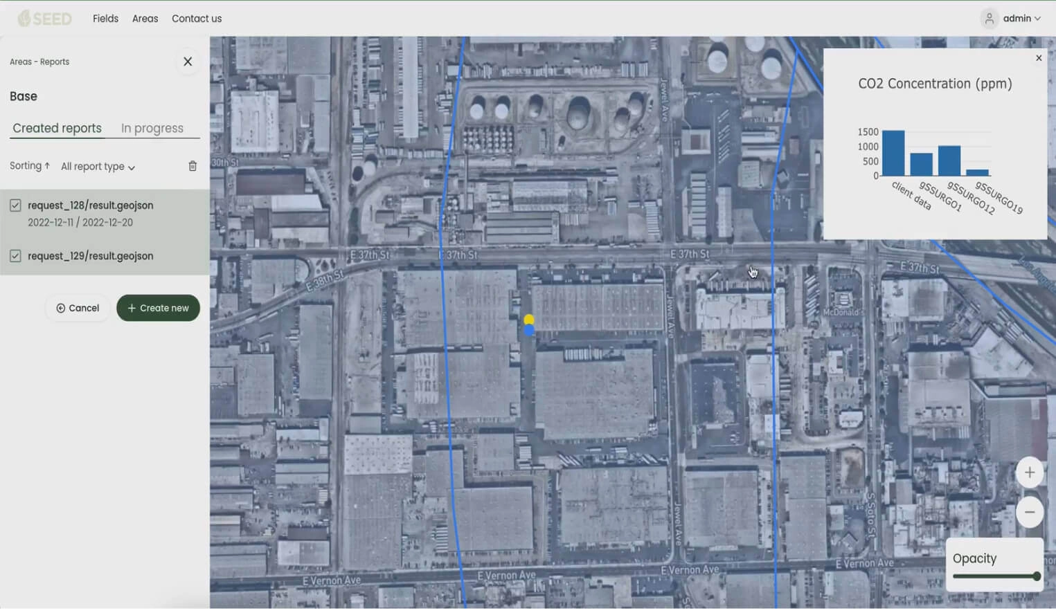
Map Viewer
Data visualization and reports

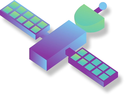
Satellite RAW Data
ESA: Sentinel 1, Sentinel 2
Planel Labs: Doves, SuperDoves, RapidEye, SkySat
ICEYE, MAXAR

Model orchestration
Complex sequent analysis
Who uses GeoAP
Tech Integrators & SaaS
Software companies and system integrators who build custom solutions, enhance platforms and deliver applications with innovative geospatial capabilities for their competitive advantage.
Commercial Businesses
Leading companies in agriculture, energy, logistics, and other sectors that use mapping and location intelligence to inspect infrastructure, optimize operations, manage risks, and drive strategic growth.
Nonprofit Organizations
Environmentalists, conservation foundations, and humanitarian organizations that use data-driven insights to protect ecosystems, monitor climate change, and deliver aid where it’s needed most.
Government Agencies
Federal agencies, municipalities, and public sector organizations who use geospatial insights to improve urban planning, reinforce national security, manage emergency response, and deliver better citizen services.
Data We Work With
Satellite imagery

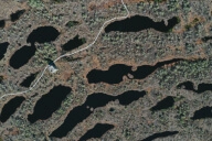
Visible
Google Earth


sar imagery
Sentinel 1, Iceye

hyperspectral
Hyperion, Prisma

multispectral
Landsat, SkySat etc.
Drone data


Thermal

RGB

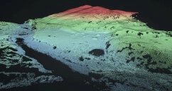
Lidar

Multi- and hyperspectral
Main Modules

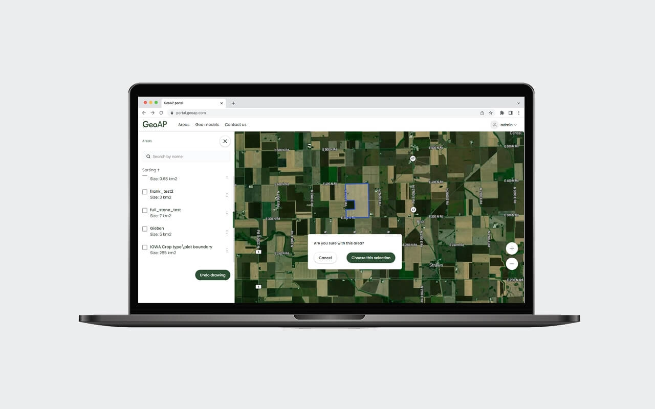
Imagery Downloader
A comprehensive service for acquiring, managing, and storing geospatial data from multiple sources. Enables ordering and tasking specific satellite imagery from various data providers and downloading UAV images, allowing you to store and re-use a vast amount of data.
Data input
- Area of interest
- Images parameters
Data output
- Set of images downloaded to the cloud storage

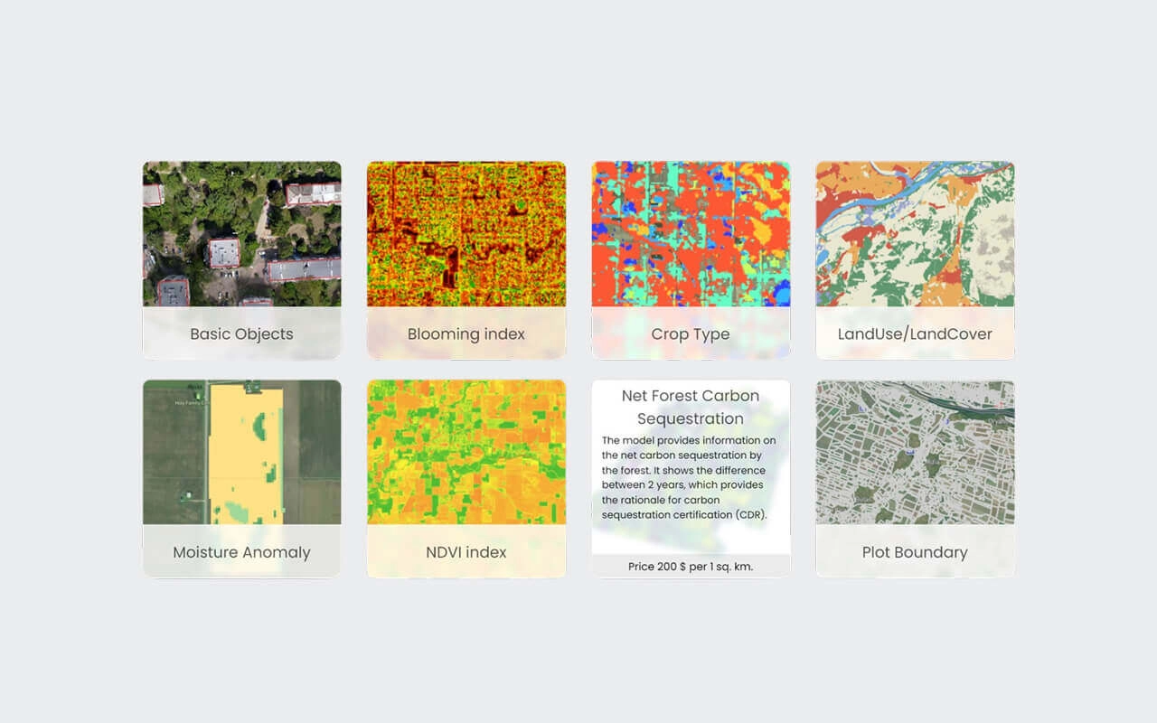
Model Executor
Conducts the required geospatial analysis by running AI models.
Model Orchestration
For a complex sequential analysis. Takes a set of geodata models and executes them one by one, processing each next model on the results
of the previous one.
Data input
- Images
Data output
- Vector or raster tiles (depending on the model)

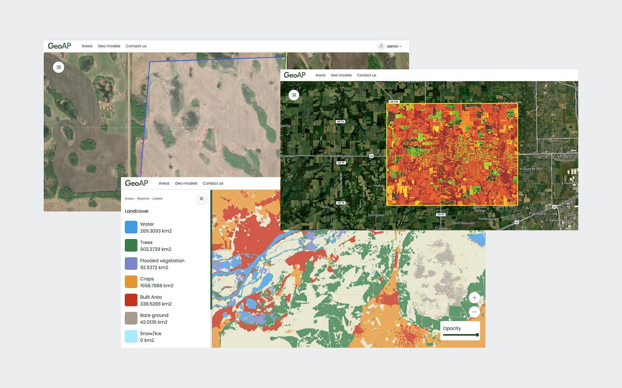
Map Viewer
Visualize your analytics outputs on intuitive maps to help you make further decisions in the form of multi-layer maps for complex data, heat maps for density analysis, and interactive dashboards with numerical indices for key metrics. The results can be also downloaded in various formats (GeoJSON, shp files, tiff) and reports.
Data input
- Map tiles generated by the model executor
Data output
- Detailed analytical reports and spatial data visualization

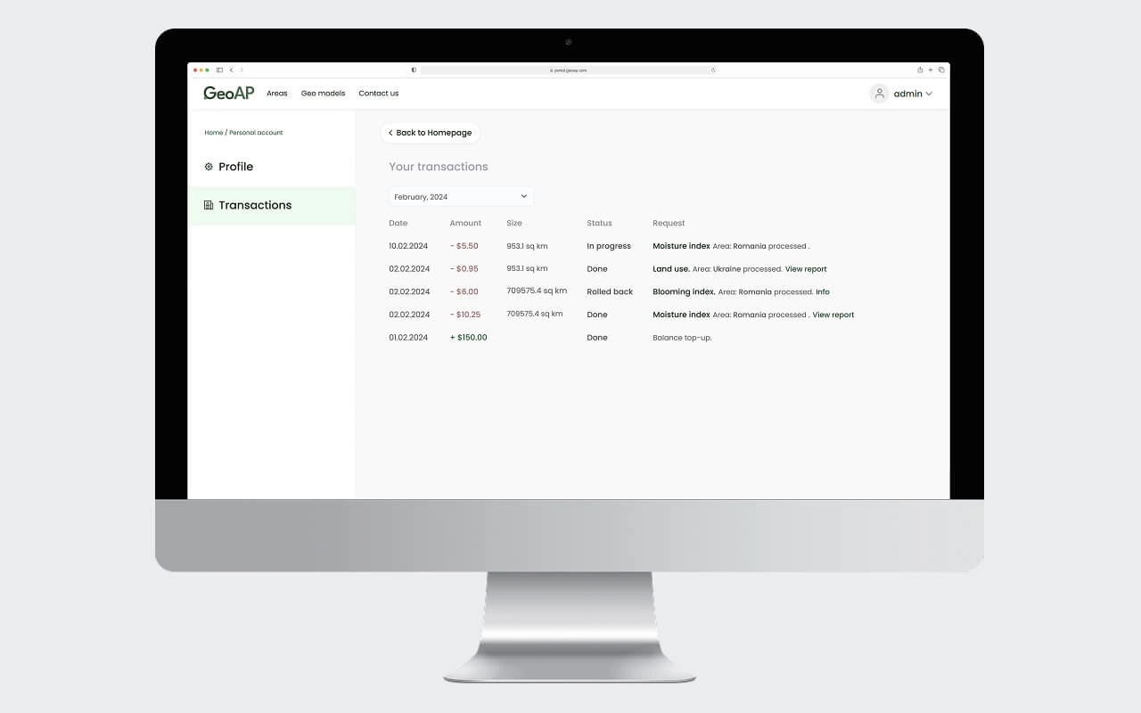
Billing
The component is designed to collect service usage statistics and monetize the service. Its calculation is based on processed area size and model type. Additionally, it offers a trial period and provides personal discounts for users.

User Management
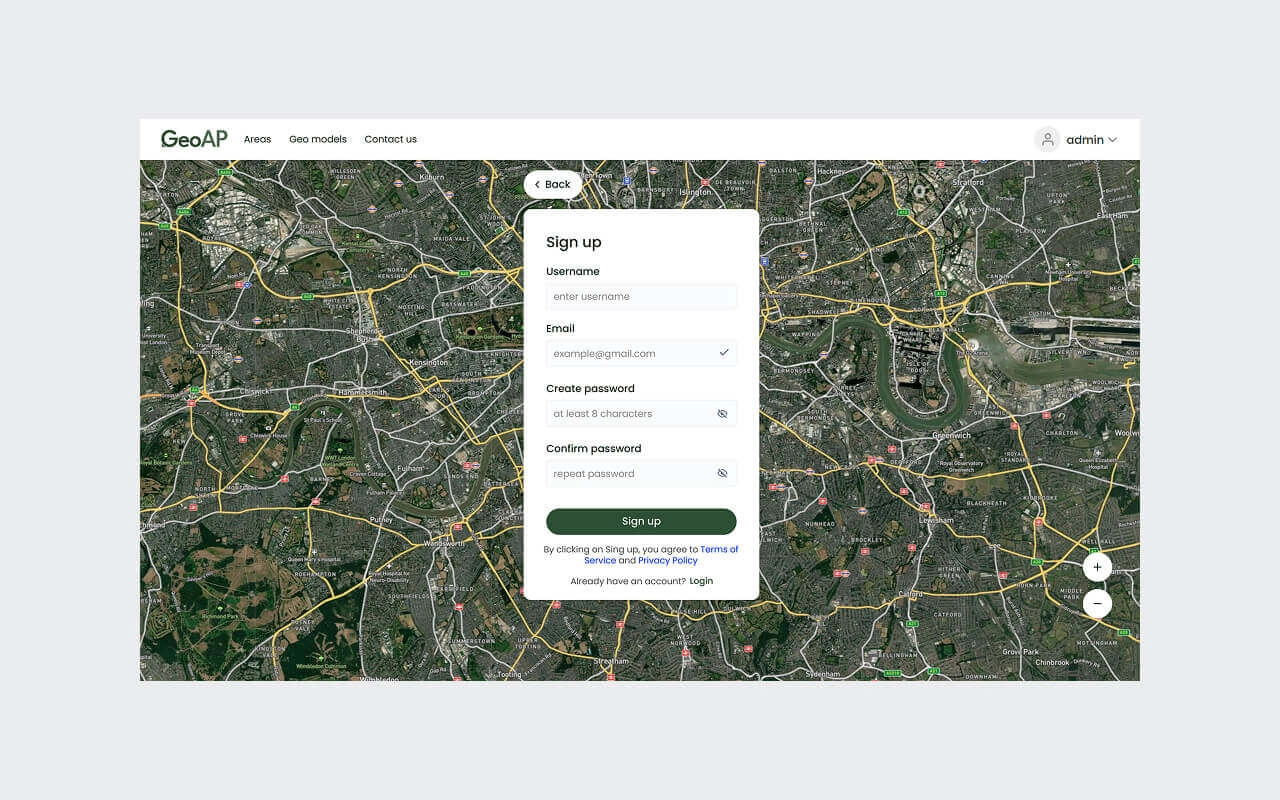
The user management system encompasses the entire user management life cycle. It includes convenient registration, user cabinet, service usage log, and financial transactions monitoring.

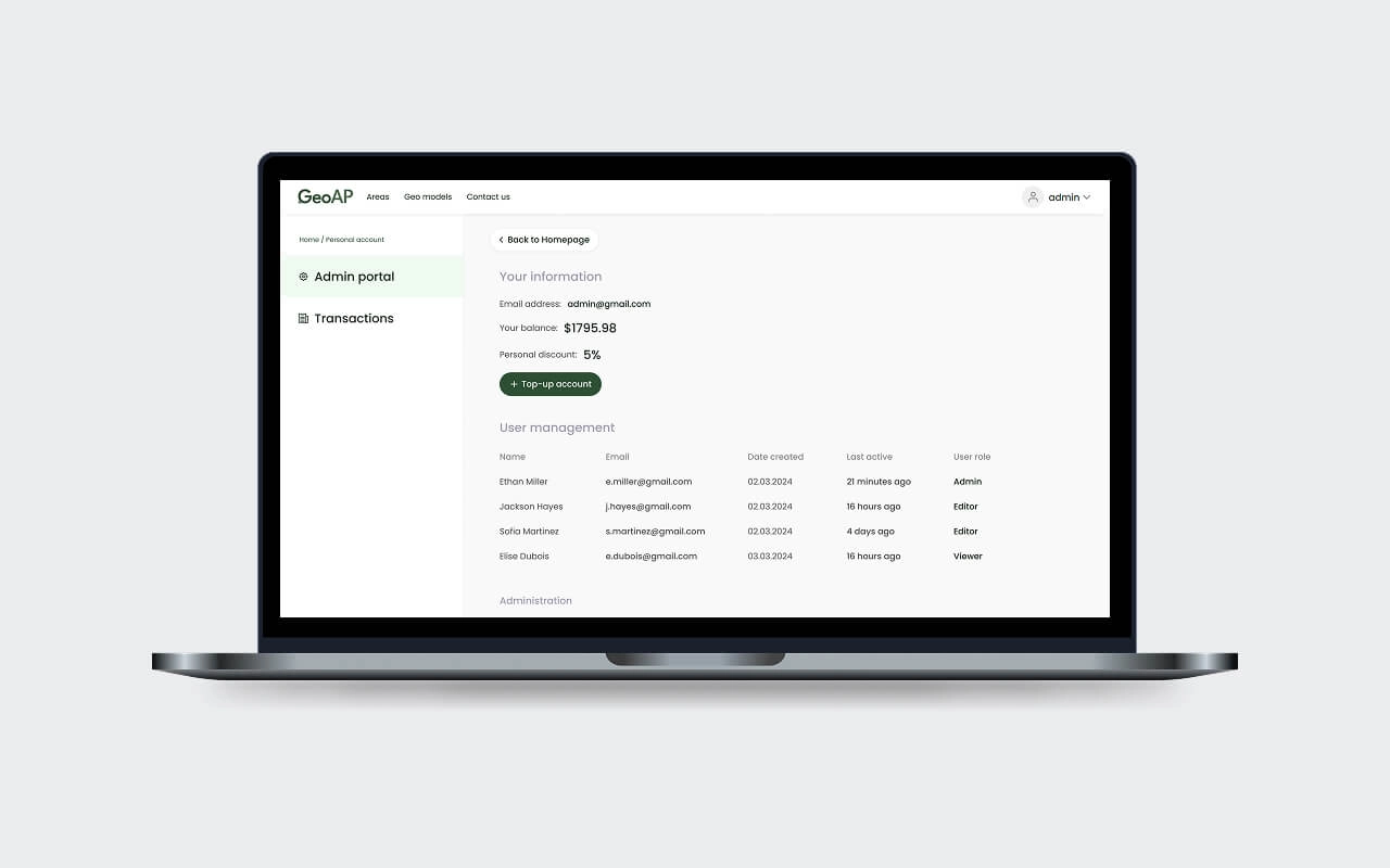
Admin Portal
An admin portal is a secure, web-based interface that allows administrators to manage and control user accounts, permissions, content, and system settings. It provides centralized access to critical functions, enabling efficient monitoring, configuration, and maintenance of an organization’s infrastructure.

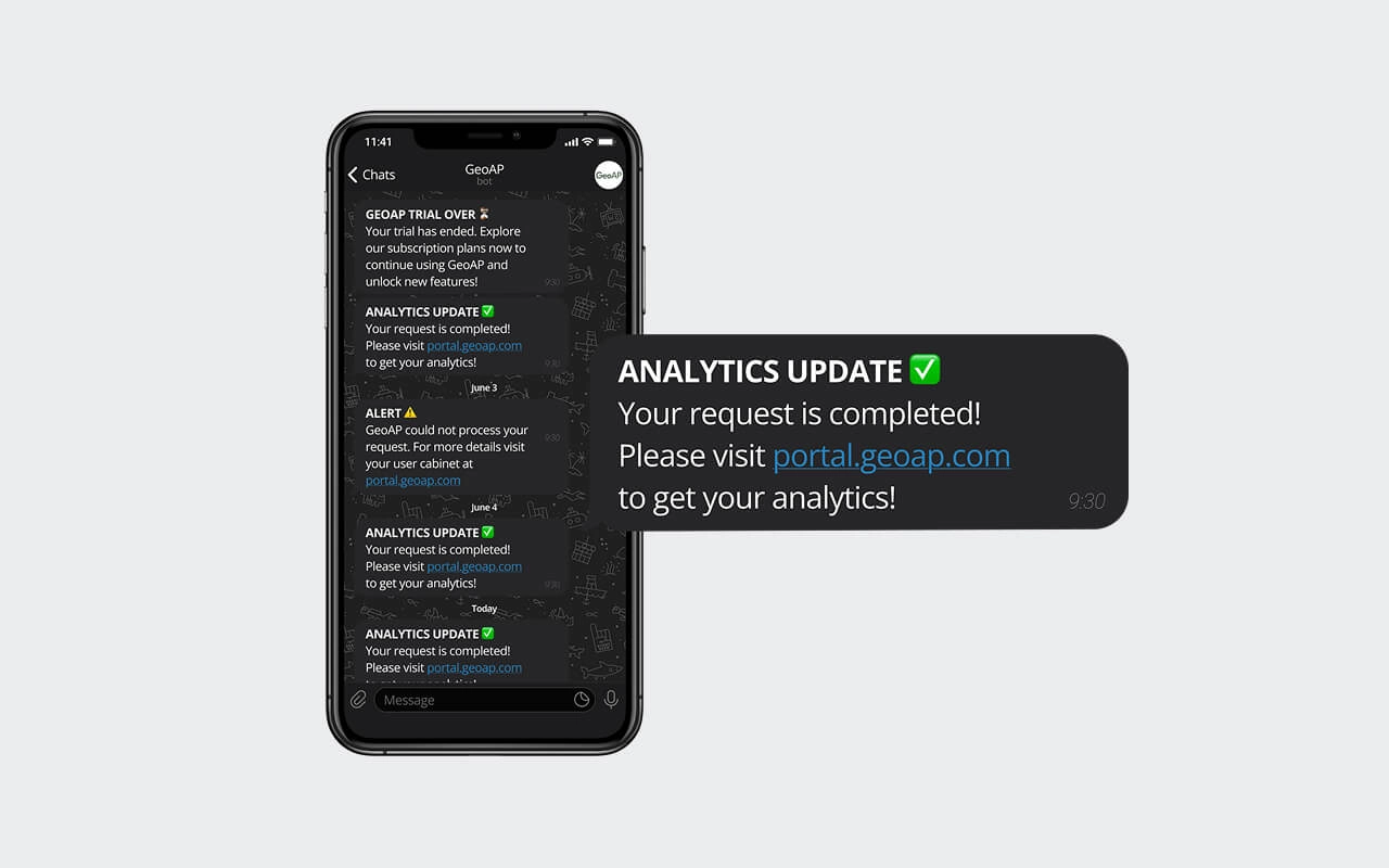
Notifications & Alerts
An embedded messaging system allows administrators and users to receive notifications in case of specific issues, along with troubleshooting suggestions, to facilitate proper issue resolution.
Manage geospatial data assets across your organization
Learn moreSupport services
We make sure you get the most out of GeoAP by providing full support for seamless integration.
Integration
We will help you seamlessly integrate GeoAP into your internal ecosystem, ensuring system compatibility.
Education
We will educate your employees to operate GeoAP functional modules to achieve the desired results.
Customization
We will develop custom geo models to cover your specific business needs and customize the GUI view.
Packages
Raw satellite data catalog
Drone data
Sentinel-1
Sentinel-2
PlanetScope
Iceye
Jupiter notebook executer
Models orchestration
Aoi definition
Data import / export
White label UI
AoI area calculation
User management
Billing
Admin portal
API
Docker
Kubernetes
Featured products


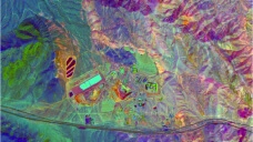
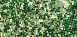
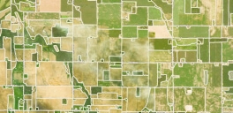
Agriculture


Forestry


Urban planning & construction


Emergency management

Environmental monitoring


Infrastructure
Why GeoAP
Proven Time and Cost Efficiency
Save up to 60% in deployment time and costs with GeoAP’s pre-developed modules and adaptable architecture.
Seamless Scalability
Easily scale your operations with Kubernetes-powered infrastructure, designed to handle your growing workloads.
Effortless Prototyping
Prototype your ideas and bring your own geospatial application to life with GeoAP as a basis without starting from scratch.
Advanced Model Orchestration
Conduct complex multi-step analysis and optimize your MLOps with efficient model orchestration tools.
Adaptive System Integration
Integrate GeoAP flexibly with your existing systems via API, ensuring compatibility and minimal disruption to your processes.
Monetization-ready
Includes built-in billing, payment getaway, and user management systems, facilitating the commercial use of the platform.
All-in-One Solution
Streamline your workflow: from data ingestion to visualization and decision-making – all done in one unified platform.
Unified Collaboration
Collaborate with diverse stakeholders on one platform, enhancing communication and decision-making.
Ongoing Support & Reliability
Benefit from dedicated technical support and maintenance, ensuring GeoAP is optimized for your evolving needs and delivers consistent performance.