


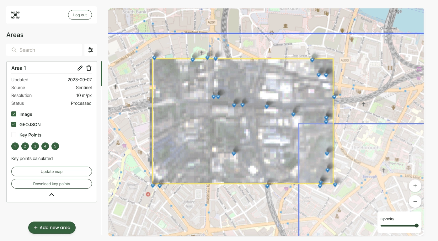


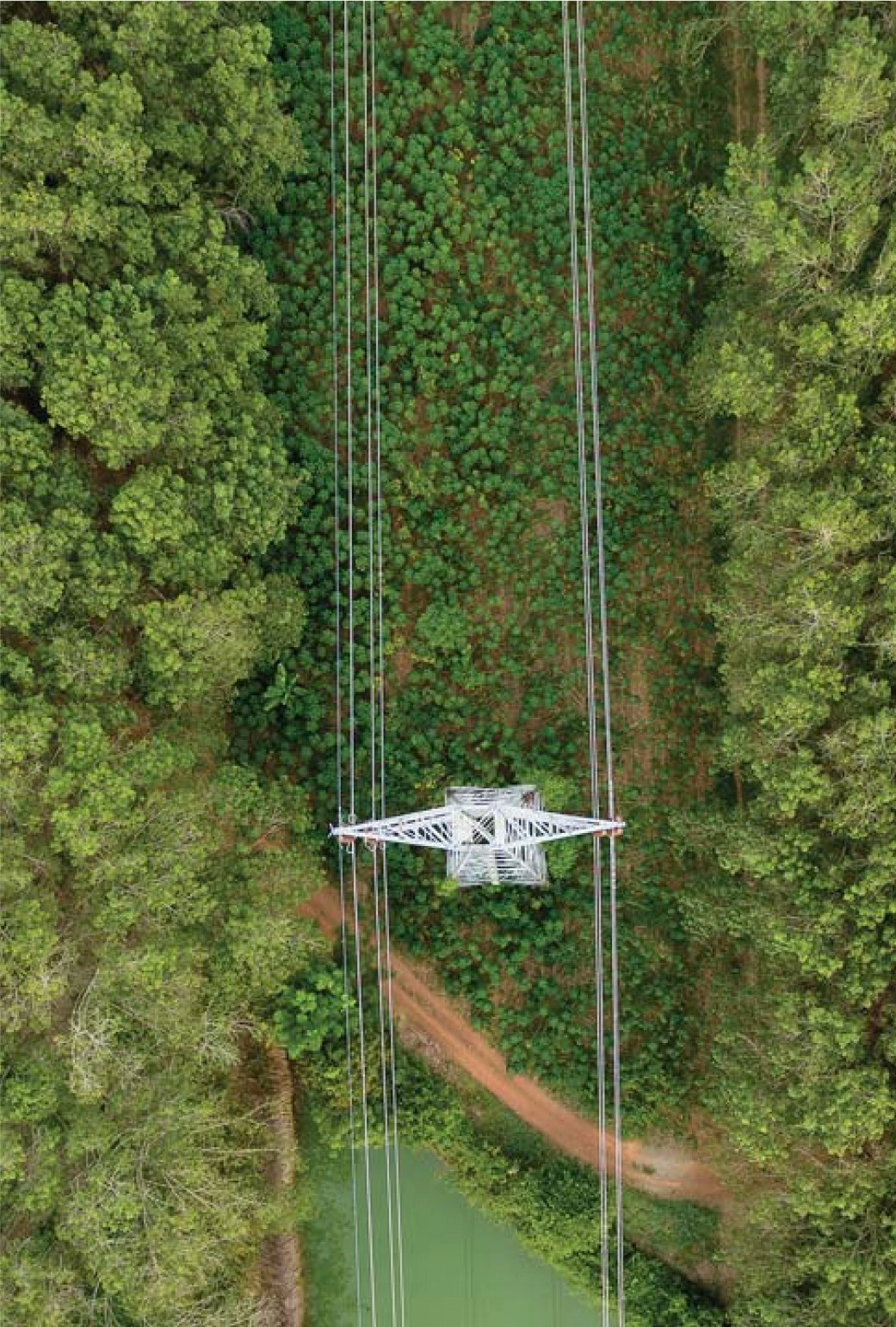


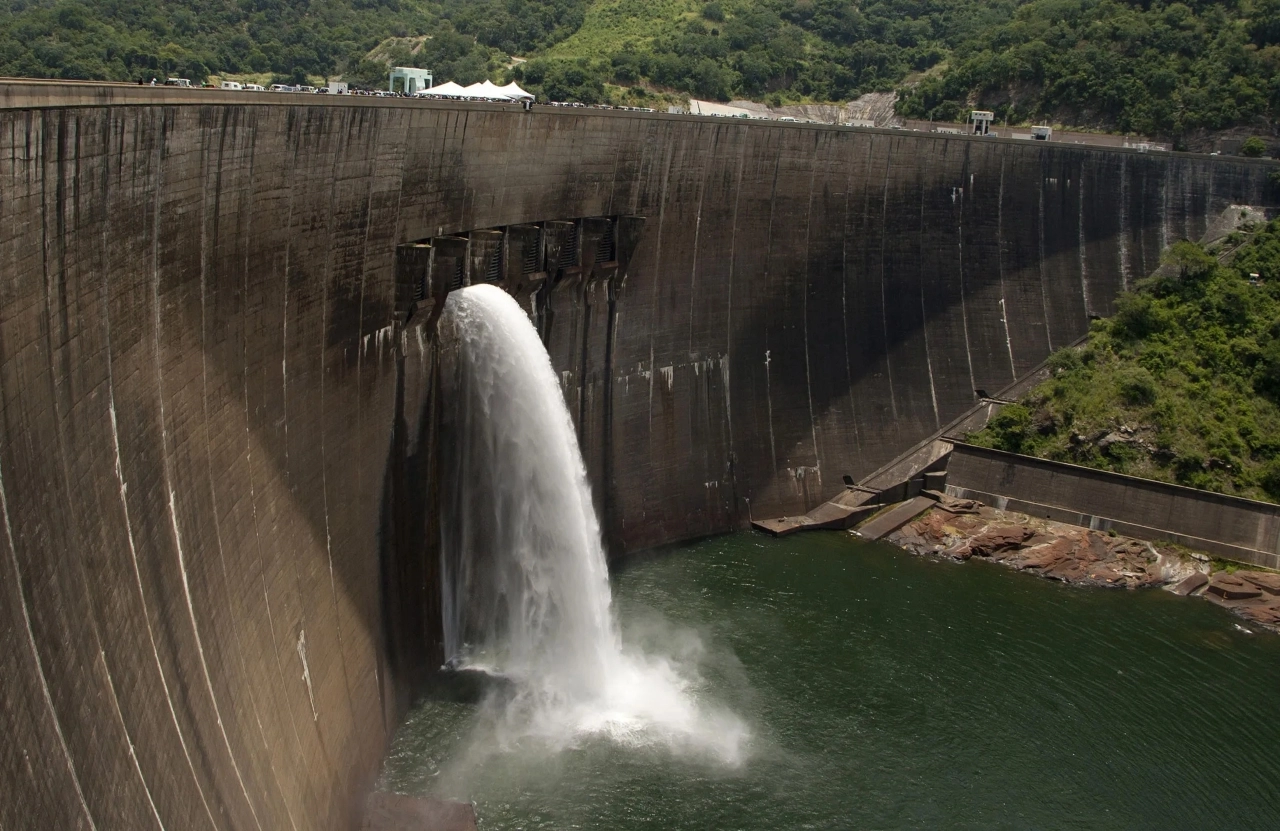


Drone navigation solution for automated wind station inspection
By automating wind turbine inspection with a drone navigation solution, Quantum decreased inspection time by 20%, increasing the company's market reach by 50%.
Read more
We solve the most complex challenges in the field of unmanned aircraft systems with a deep commitment to precision, autonomy, and proven technologies.
Talk to an ExpertAutonomously evaluates and adjusts the drone’s position for hovering in place without manual calibration.
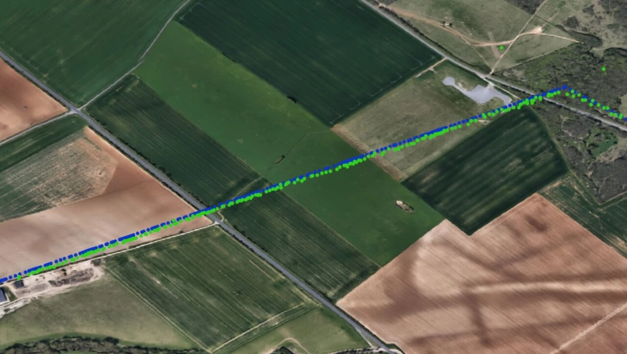
Using the drone’s internal sensors to map out a precise flight path to navigate UAV without depending solely on GPS.
A safe environment for repetitive training of specific maneuvers without the risk of damaging your physical devices.
Replicate real-world conditions, from different terrains to adverse weather, for comprehensive UAV training.
Training sessions can be automated and conducted anytime, providing data for analysis and improvement.
Companies that design, develop, and produce UAVs and require data analytics solutions for product testing, validation, optimizing drone performance and reliability.
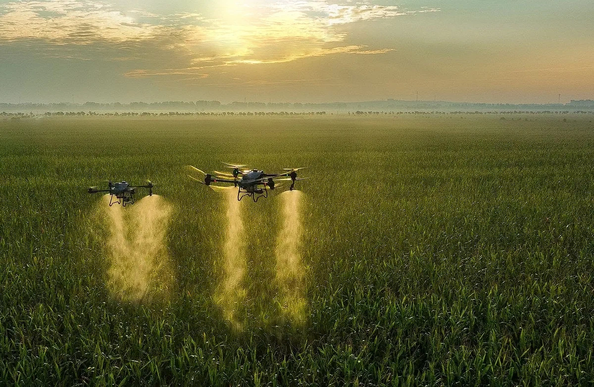
Businesses providing drone services, including surveying, inspections, security, and agriculture, require efficient and reliable solutions for mission planning, flight control, and data management.
Organizations specializing in acquiring raw aerial imagery and sensor data into actionable insights for construction, infrastructure, environmental monitoring, and precision agriculture.