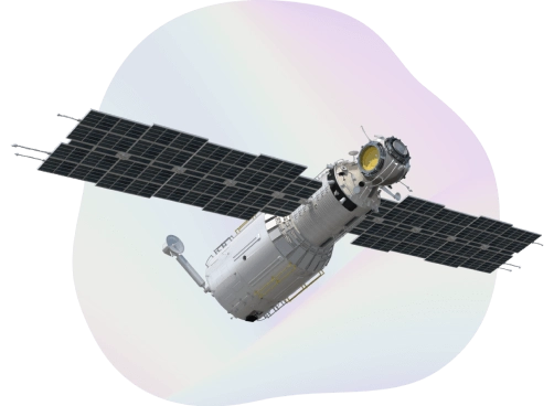
Satellite imagery
High resolution and frequency imagery for your data-driven decisions
What we offer
Up-to-date satellite data to improve your decision-making. We advise
on the best-to-use type of satellite data depending on your project
and goals.
We develop comprehensive geo-analytical products with a set of ready-to-use ML & CV components for imagery analysis to enhance efficiency and save time on software development.
Satellite imagery processing

We can help you with:
- Imagery downloading.
- Imagery alignment, including improved orthorectification.
- L1C to L2A conversion.
- Automatic merge of tiles.
- Selection of tiles by cloudiness. If the latest tiles have clouds on them, previous snapshots that are more suitable will be used.
- Preprocessing for S1. Apply orbit file, Thermal noise removal, Border noise removal, Calibration, Speckle filtering, Range Doppler Terrain Correction, and Conversion to dB.
The types of imagery we provide
resolution imagery
resolution imagery
base maps
Need to enhance yourgeoanalytics with AI?
PLANET.COM
Daily Earth data leading provider
planetscope
3-meter multispectral image resolution bands: 8 (RGB, NIR)
rapideye
5-meter multispectral image resolution bands: 5 (RGB, red edge, NIR)
skysat
50-centimeter image resolution bands: 5 (RGB, NIR, pan)
why planet?
High
cadance
& continuous daily imagery.
Automated
analysis
& preprocessing capacity.
Global
coverage
& historic image library.
Simplified
access
via API & data integration.
Use cases
data-driven
precision agriculture
Gain critical insights necessary for productive, profitable, and sustainable farming.Energy & infrastructure
satellite monitoring
Create insightful assets to monitor competitors and mitigate disasters before they become costly.civil
government
Make timely, data-driven decisions for safer communities and greater visibility over natural resources.mapping
& GIS imagery
Update GIS data, visualize topographies, and enhance UX design with Planet datadata-driven
sustainability
Tackle complex sustainability challenges to balance economic growth, social well-being, and ecology.forestry
& land usage
Remote sensing technologies and data analysis delivered by the world’s largest fleet of commercial satellites.
Talk to our experts
Let’s discuss how Quantum can help you benefit with high-quality satellite data