Model marketplace
Discover our high-performing ML models for geospatial analysis that can be quickly deployed with our tools: GeoAP — a ready-made platform for your AI-powered geo-analytical solutions with our open-source models or SoilMate — an easy-to-use service for quick geospatial analysis with built-in ML models.
Filter models

Automated land usage detection
GeneralLand Use/Land Cover map produced by Microsoft annually. The map is a composite of land use/land cover predictions for 9 classes each year from 2017

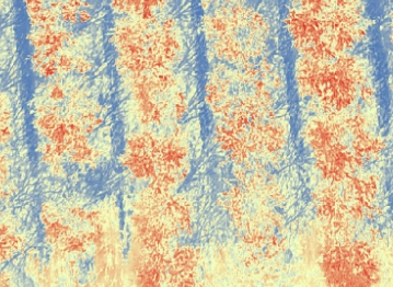
Blooming index detection
AgricultureModel calculates the intensity of blooming for trees with white flowers, for example, almonds. It is useful for pollination and might help agronomists monitor the yearly almonds cycle.
Need a custom
Geospatial model?
We develop custom ML models tailored to address your business’ needs and requirements.
Fill in the form below, and we will reach you as soon as possible.


Disease detection
AgricultureGrowth anomalies detection. Performed through NDVI index calculation within the area of interest (AoI) and statistical methods application.

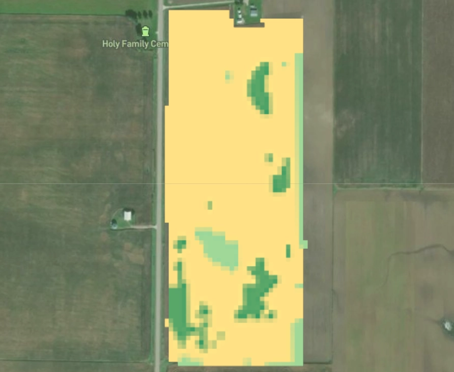
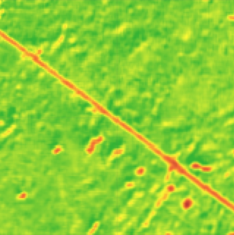
Moisture anomaly detection
AgricultureMoisture index detection. Performed for a given AoI at the desired timeframe, selecting the least cloudy date.

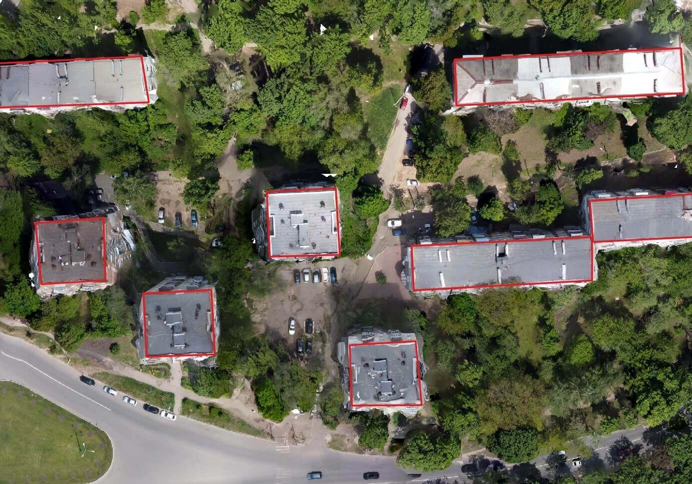
Basic objects detection
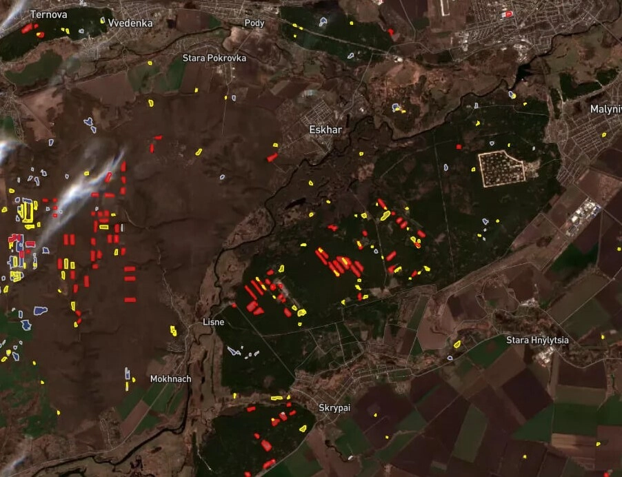
GeneralVehicles and basic objects detection. Detects the most visible classes with a resolution of 0.3-0.5 m per pixel.

NDVI index calculation
AgricultureNDVI index calculation. Performed for a given AoI at the desired timeframe, selecting the least cloudy date.

Carbon Estimation
GeneralForests above ground biomass (AGB) and carbon stock (AGC) estimation. Model detects amount of carbon in forested areas. *price per 1 sq. km.

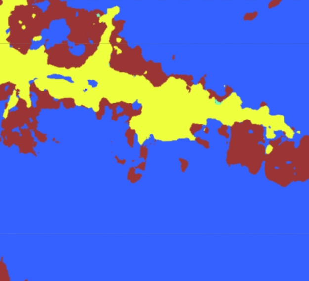
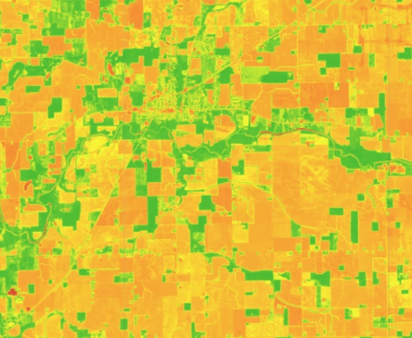
Crop type detection
AgricultureCrop type detection model. Classifies each pixel of satellite data to detect 7 crop classes. It leverages a sequence of SAR and optical imagery to understand crop development dynamics. *price per 1 sq. km.

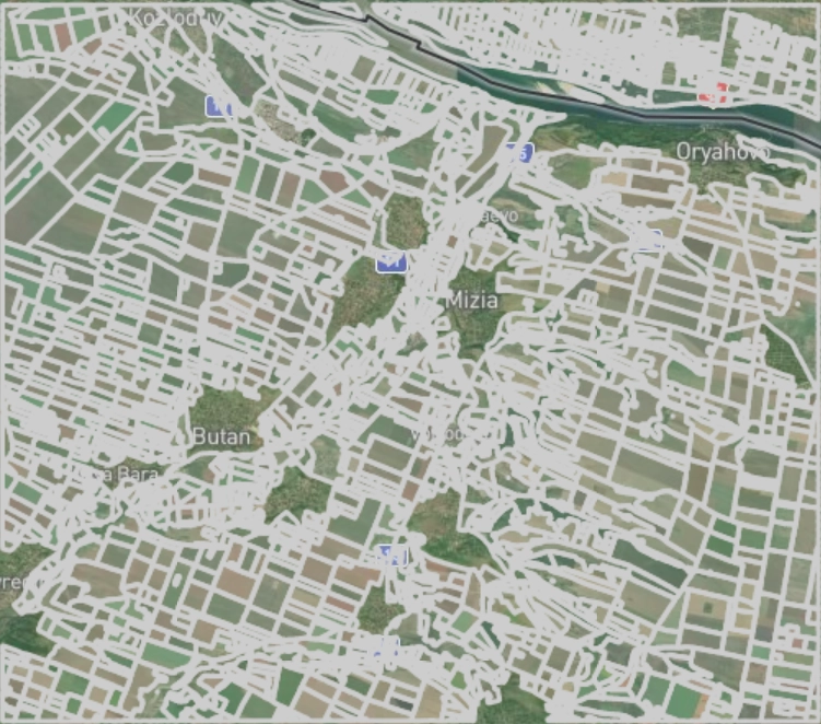
Plot boundary detection
AgricultureAutomated agricultural field boundaries detection. Performed during the growing season and easily detects the changing boundaries annually. *price per 1 sq. km.

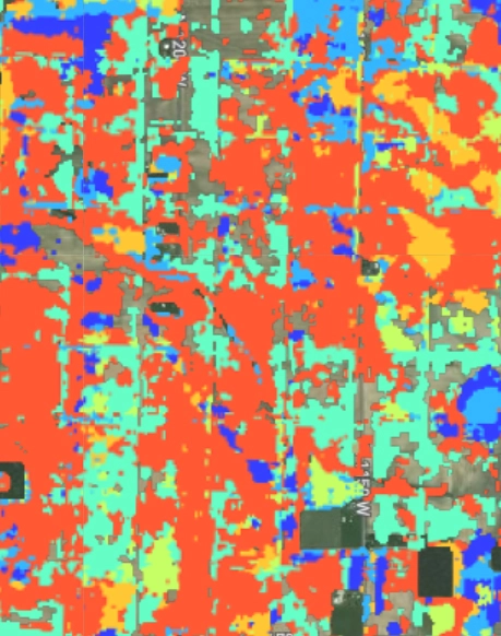
Deforestation, afforestation detection
GeneralDeforestation detection model. Pixelwise segmentation of optical data. Uses a sequence of 2 images to compare the difference between forest cover and classify it as clearcut or not.