


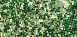


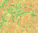


Precision farming AI solution
An advanced AgriTech monitoring service uses AI and drone data for precise ripe fruit detection, resulting in a 40% increase in farm productivity to optimize harvest efficiency.
Read more
We partner with startups and enterprise companies to deliver complex end-to-end geosolutions powered by data science. Get the maximum value from geospatial data and gain a competitive advantage.
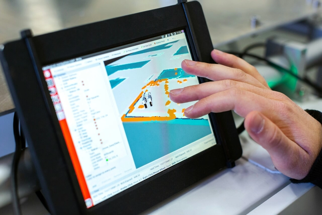
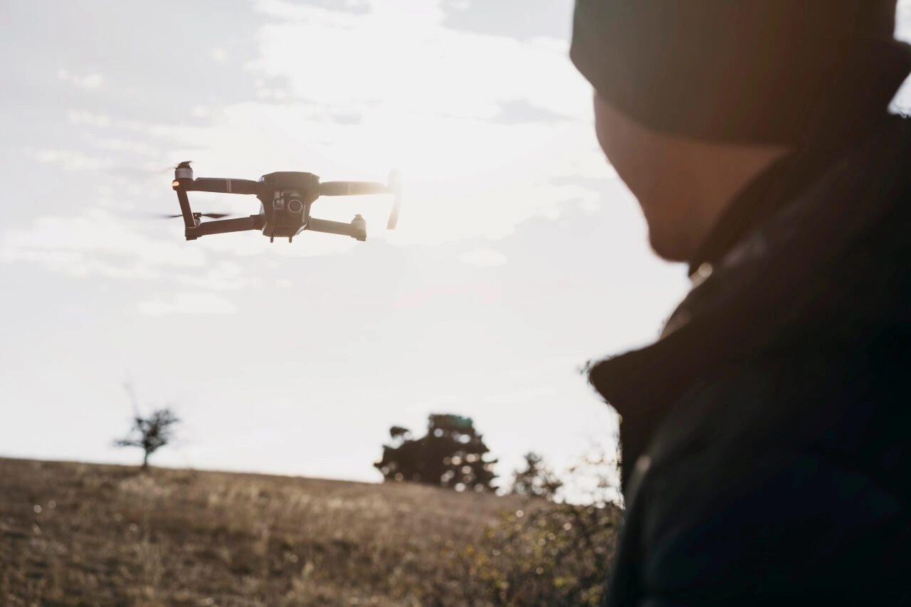
Talk to an ExpertMake smarter decisions with near real-time insights from your drone data. Analyze LiDAR scans, thermal, multispectral imagery, and more to detect anomalies, classify features, and predict events with precision.
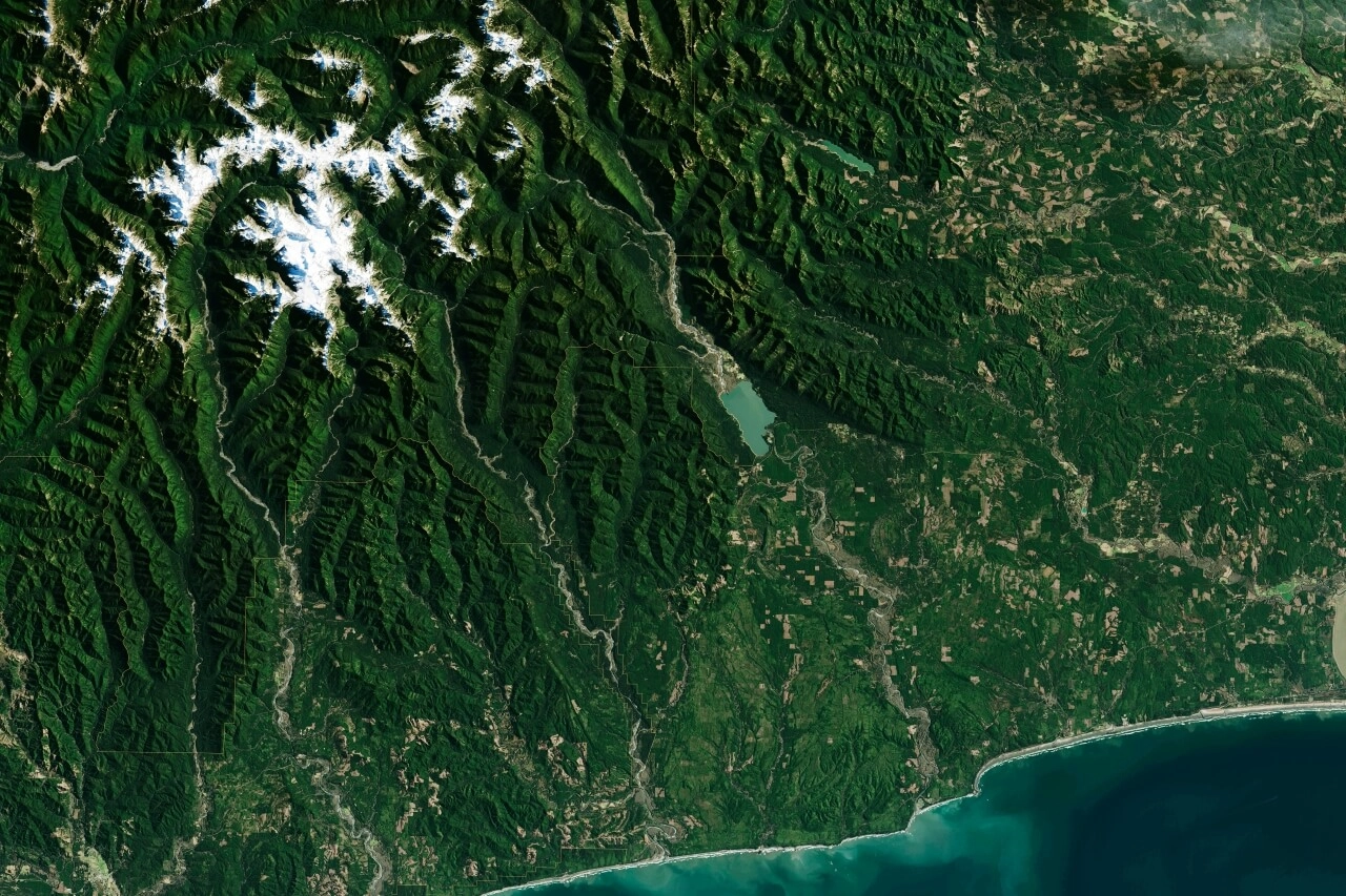
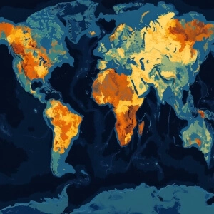
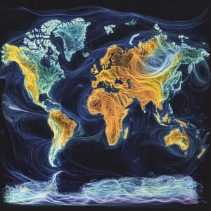
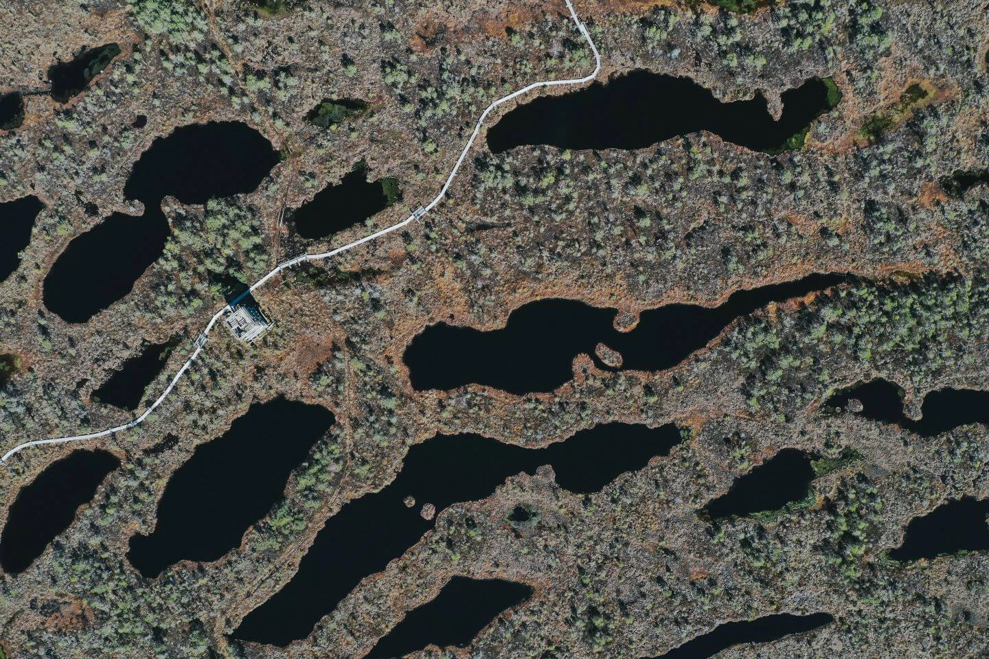
Monitor, analyze, and predict with comprehensive satellite data analytics. Leverage diverse satellite data, from Sentinel to Maxar, to uncover critical insights. Automate data preparation and apply advanced AI models for key decisions.
Leverage our expertise in creating custom enterprise-grade solutions to tackle complex challenges. Get critical geospatial intelligence through advanced analytics platforms, tailored to integrate with your existing workflows and scale with evolving business needs.
Build scalable, customizable geospatial solutions to handle high data loads and diverse workflows. Leverage edge computing for real-time applications and cloud infrastructure for extensive processing and storage.
Build and manage big data processing pipelines that ensure the efficient ingestion, transformation, storage, and delivery of complex geospatial data for analysis and insights.
Develop AI algorithms and orchestrate sequential geospatial data pipelines for automated object detection, land use classification, and predictive modeling across the edge and cloud environments for flexible, scalable geoanalytics.
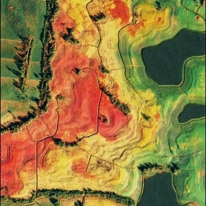
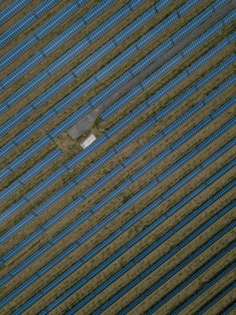
Automate satellite data preprocessing — including downloading, aligning, and noise removal — to ensure efficient analysis. Extract hidden patterns and trends, from crop yield forecasting to infrastructure risk identification.
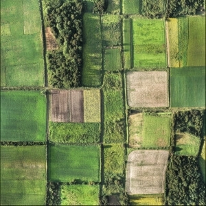
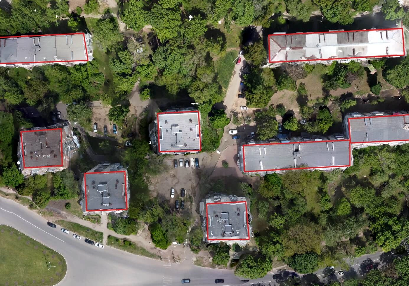
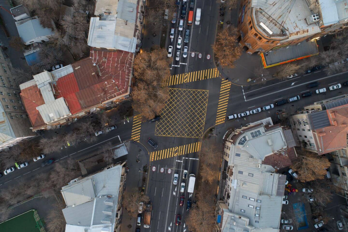
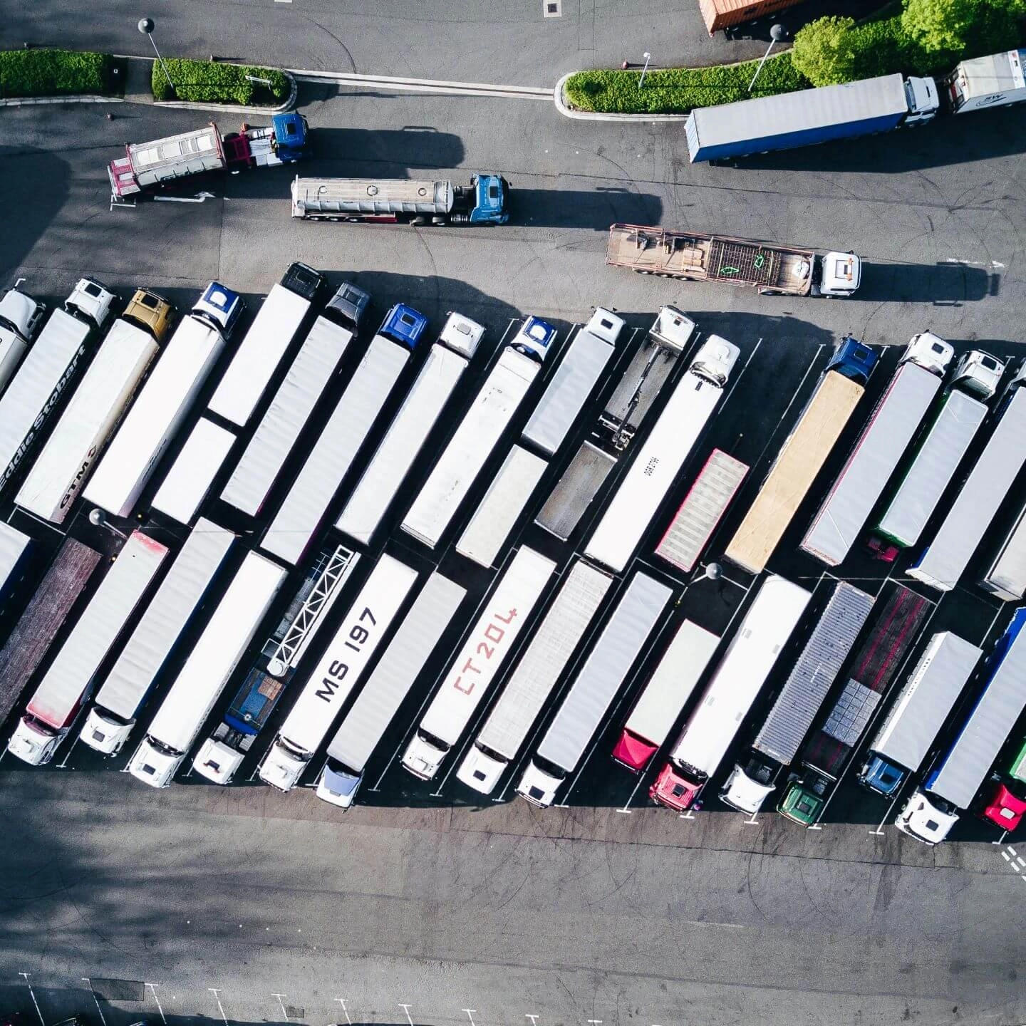
Optimize UAV data processing using AI for image analysis tasks such as object detection and classification. Create high-quality geospatial products, including orthomosaics and maps. Integrate drone and satellite data to enable informed decision-making.
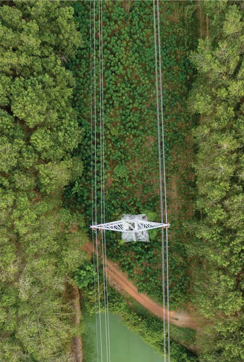
Implement real-time drone data processing using edge computing platforms like Raspberry Pi, NVIDIA Jetson, and ARM processors. Optimize custom AI models to perform complex tasks directly at the UAV.
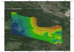
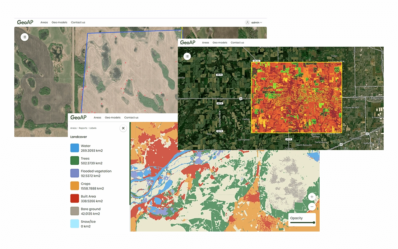
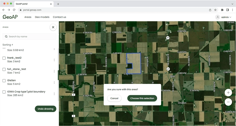
Transform complex analytics into clear, detailed maps and visualizations that integrate multiple data layers, elevation models, and interactive dashboards, facilitating a deep spatial data understanding.
Obtain specialized expert advisory to address the full spectrum of geospatial analytics challenges, from optimizing data processing workflows to designing robust system architectures.
Sentinel 1, Iceye
Hyperion, Prisma
Landsat, Sentinel 2, etc.
SkySat
At our core, we believe that effective solutions start with deep business insight, not just data alone. We take a holistic approach to understanding your unique challenges, carefully mapping out the optimal combination of data sources and technological capabilities needed to address your specific needs.
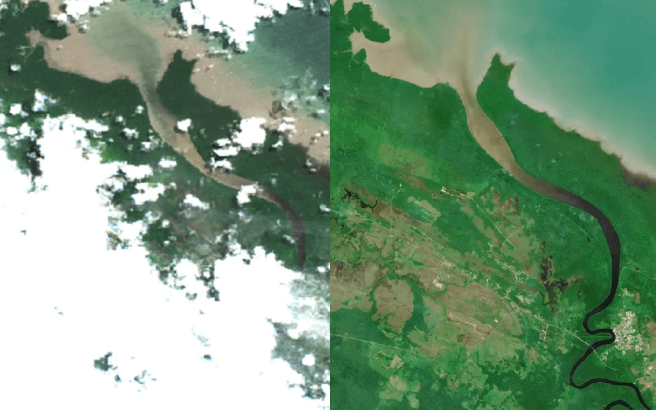
We transform raw satellite and aerial imagery into analysis-ready data through our sophisticated pre-processing pipeline. Our expertise covers the full spectrum of remote sensing data preparation, from cleaning noise and removing shadows/clouds to spatial alignment and geometric corrections.
We use advanced analytics to provide accurate data for forecasting, monitoring, and decision-making. Our AI solutions transform complex data into clear analytics, helping organizations understand patterns and predict future trends.
Our core capabilities include developing AI models for:
We turn complex spatial data into clear, interactive visualizations. Our solutions combine multiple data layers to create intuitive maps and dashboards for easy exploration of your spatial information.
We deliver:
Each visualization is tailored to your industry needs, helping you make informed decisions through clear, actionable insights.
Our team of 50+ geospatial specialists consistently transforms complex spatial data into strategic business insights, delivering 30+ successful geoanalytics projects for agriculture, environmental monitoring, logistics, the energy sector, and many more.
Our data scientists work with a diverse range of satellite and drone-captured imagery, processing complex datasets of unstructured raw data with precision and finesse to transform them into clear geoanalytics that provide tangible business value.
Our R&D team focuses on solving unique challenges with innovative solutions. We develop custom GeoAI models, process unconventional datasets, and create entirely new data science methodologies, ensuring every project achieves its full potential and turn complex requirements into client-specific solutions.
We prioritize efficiency and cost-effectiveness, utilizing GeoAnalytics Platform, our comprehensive geospatial SaaS platform with customizable modules for rapid custom geospatial solution delivery, reducing time-to-market by 40% and implementation expenses by 60%.